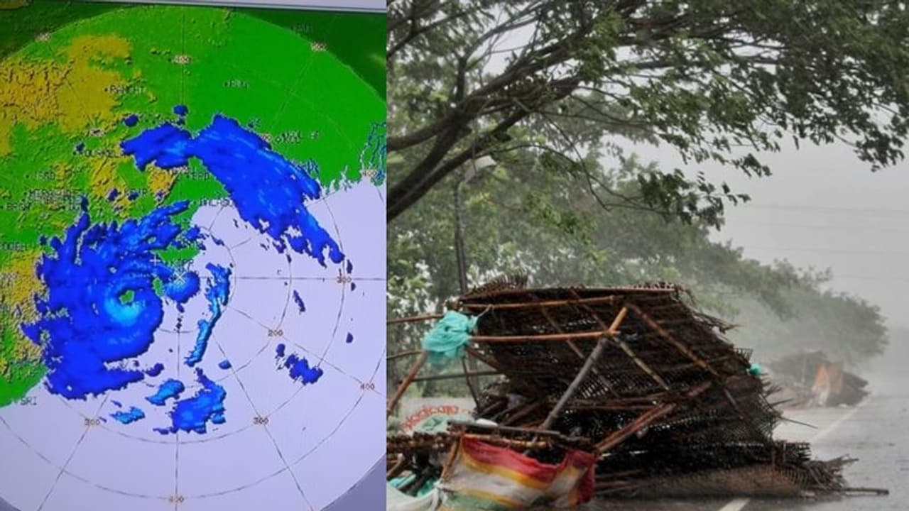
NASA on Thursday published some satellite images of the destruction caused by the cyclone Fani in Odisha on its online publishing outlet Earth Observatory
Bhubaneshwar: NASA on Thursday shared some pictures of the devastation caused by cyclone Fani in Odisha earlier this month. As the powerful storm pummeled the coastal state, almost one million people were evacuated. Unfortunately, 35 people still lost their lives.
Even four days after cyclone Fani, Odisha is still reeling under severe crisis. While some districts are facing power cuts, others are without water.
NASA published some satellite images of the destruction caused by the cyclone on its online publishing outlet Earth Observatory.
Also read: Indian Navy stands with nation as cyclone Fani intensifies into 'severe cyclone'
Bhubaneshwar
,
The left side image shows city lighting on April 30 (before the storm) and the right side one shows the situation on May 5 - two days after Fani made landfall near Puri.
Also read: Cyclone Fani ravaging coastal areas of Odisha, Bengal and Andhra Pradesh: Visuals here
Information and Public Relations Secretary Sanjay Singh said, “We have engaged diesel generators for running water pumps in places where electricity is not available. We will be able to fully restore power supply in the state capital by May 12."
Cuttack
,
This image shows the night-time lights in Cuttack.
About the images
Data acquired by the Visible Infrared Imaging Radiometer Suite (VIIRS) on the Suomi NPP satellite was used to create these images.
“VIIRS has a “day-night band” that detects light in a range of wavelengths from green to near-infrared, including reflected moonlight, light from fires and oil wells, lightning, and emissions from cities or other human activity,” said NASA on the website.
Cyclone Fani, which is considered as one of the worst storms to hit the country since 1999, made landfall on May 3 near Puri with a wind speed of more than 200 kilometers (120 miles) per hour.
