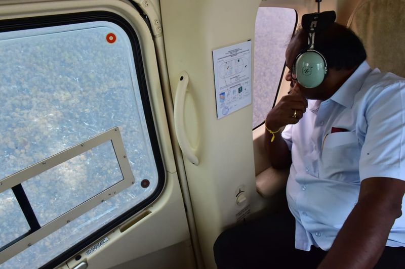
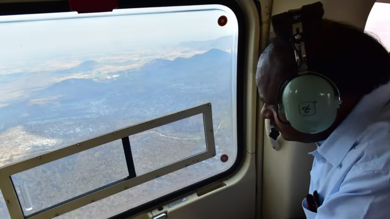
Karnataka chief minister HD Kumaraswamy conducts aerial survey of Bandipur tiger reserve. Two IAF choppers helped in dousing the fire that spanned five days.
Bandipur: After the Indian Air Force helicopters lent a helping hand to the Karnataka forest department in battling the raging forest fire at Bandipur over a period of five days, state chief minister is now conducting an aerial survey to assess the damage.

The satellite data provided from the Indian Space Research Organisation (ISRO) validated the efforts of the Forest Department, the IAF and several field volunteers. ISRO also released a report stating that most of the GS Betta range was gutted.
District-in-charge minister of Chamarajanagar C Puttarangashetty inspected the damaged area in Moolehole and GS Betta range and said that based on preliminary investigation, it appeared to be a failure on the part of officials. “Fire-lines were not completed prior to the fire season,” said Puttarangashetty. He also said that the forest department should have recruited more staff considering the harsh summer.
Forest minister Satish Jarkiholi has now appointed 2003 batch IFS officer Balachandra as a full-time director at Bandipur.
Chief wildlife warden C Jayaram said that the fire incident that spanned five days was the worst in the history of the department. He also went on to say that the officials handled the situation efficiently.
According to the Forest Survey of India, there were active and large scale fires in the Bhadra tiger reserve limits, in patches of forests in Davanagere district, Dandeli-Anshi tiger reserve and Biligiriranga temple sanctuary (BRT).
Although the authorities had estimated the damage to be between 6,000 to 8,000 acres, a summary report by the National Remote Sensing Centre presented a grimmer picture. The report states that nearly 14,450 acres of land could be damaged as of February 25.
The fire began on February 23 and spanned over a period of five days. Two IAF choppers sprayed 30,000 litres of water on the reserve to control the fire. Casualty and reason for fire will be ascertained shortly.
