
Chennai: The depression over Bay of Bengal is expected to make landfall on Thursday night and heavy rain is forecasted over the North-Eastern States, Coastal Odisha, Coastal Andhra Pradesh, Telangana, Rayalaseema and Tamil Nadu and Puducherry.
The India Meteorological Department (IMD) said that the low-pressure area is expected to develop into a deep depression and bring with it thunderstorms and lightning over the coastal Andhra Pradesh, Telangana, Interior Karnataka, Konkan, Goa and Madhya Maharashtra as well.
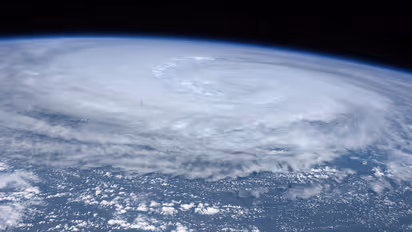
“There is a low pressure situation in the eastern-central part of the Bay of Bengal. Over the next 12 hours, this will turn into a depression. It is likely to become more intense. Due to this, the southern and central parts of the Bay of Bengal will experience strong winds up to 45 kmph this evening,” said S Balachander, Director of Regional Meteorological Centre (RMC), Chennai.
Authorities have also warned of 'rough' to 'very rough' waves with heights between eight ft and 20 ft over South and Central Bay and Andaman Sea. Fishermen have been asked to keep away from the sea.